-40%
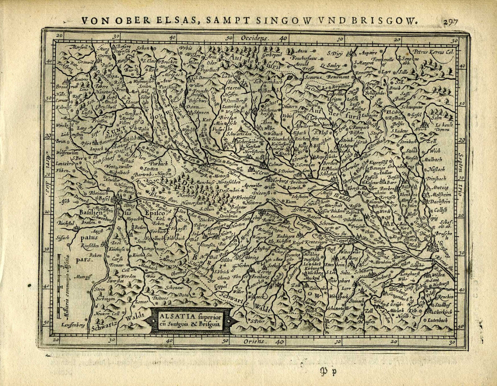
1651 Genuine Antique map SW Germany, Basel, Alsatia, Rhine. Mercator/Jansson
$ 25.08
- Description
- Size Guide
Description
Genuine antique map "Alsatia superior..." by Mercator/Jansson from the German edition of "Atlas Minor" published in Amsterdam in 1651. This charming 360 year old copperplate map of southwestern Germany and the eastern border of France shows detail of the Rhine River and its tributaries, cities, forests (drawn as rows of individual trees) and mountains (drawn as rows of individual mounds). German text on verso. Image is in very good condition and measures 6 1/2"x 8 1/4".NOT A REPRODUCTION. All of our items are genuine antiques as described.
