-40%
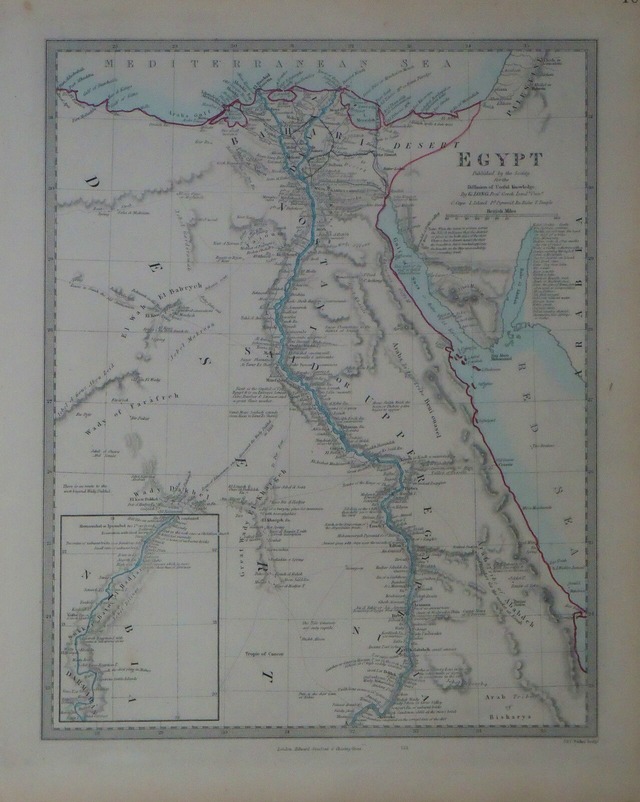
1847 Genuine Antique hand colored map of Egypt, Nile River. SDUK
$ 15.83
- Description
- Size Guide
Description
Genuine antique map of "Egypt"
,
published by Edward Stanford under the superintendence of the
Societ
y for the Diffusion of Useful Knowledge,
London, 1847. This map shows Egypt with an inset of the upper reaches of the Nile. Hundreds of features and settlem
ents a
long the
Nile are named.
Original hand colored in outline
.
Mountains are shown in relief
.
Map
is
in very good condition. Measures 14 5/8" x 11 5/8".
NOT A REPRODUCTION. All of our items are genuine antiques as described.
