-40%
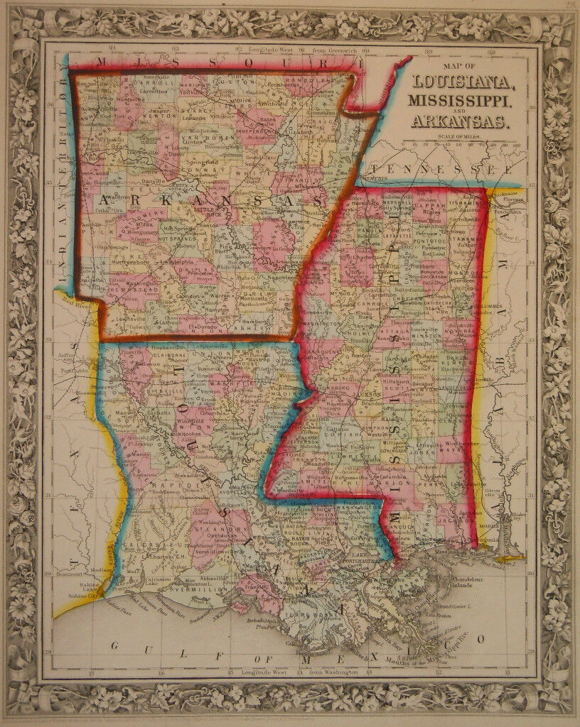
1860 Genuine Antique Map of Lousiana, Mississippi & Arkansas. A Mitchell
$ 21.12
- Description
- Size Guide
Description
Genuine antique county "Map of Louisiana, Mississippi and Arkansas" fromNew General Atlas
published by S Augustus Mitchell Jr in Pennsylvania, 1860. Original hand color outline and washes show separate counties. Coastline of Louisiana shows nice detail of the Mississippi delta. Railroads, cities, counties and waterways are named. Bright colors and a lovely twining leaf and flower border makes this a very attractive map. Faint age toning. Image measures 13 1/4"x 10 3/4".
NOT A REPRODUCTION! All of our items are genuine antiques as described.
