-40%
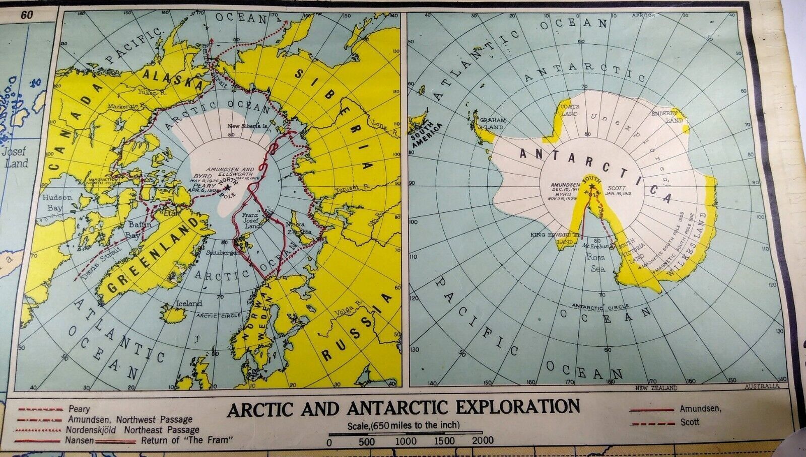
1921 Map "Arctic And Antarctic Exploration" 15x9.25" - Antique Wall Map Inset
$ 10.79
- Description
- Size Guide
Description
1921 Map Exploration, Partition of Africa - Colonization, Boer Republics - 37x48Offered here is the over-century-old map shown. It was originally an inset map on an old wall map that had terminal damage elsewhere.
Map publisher was A.J. Nystrom and Company of Chicago.
Offers welcomed. Please make your best offer first and we in turn will try not to waste your time haggling. We do accept most offers. Try us and see!
We will be offering other inset maps from this collection of old wall maps in future listings. Check back often.
Also see the hundreds of antiquarian books, ephemera and antiques in our eBay store.
Our inventory no. 5-19-2.
