-40%
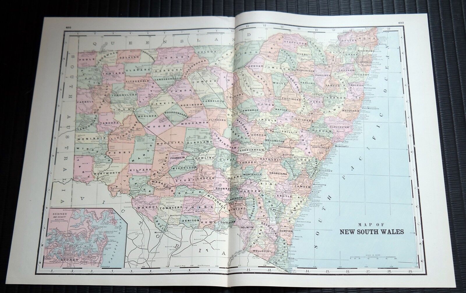
Crams Railway System Atlas Map New South Wales New Guinea West Australia 1895
$ 10.55
- Description
- Size Guide
Description
This map is from the 1895 Cram's Standard American Railway System Atlas 1895 - Published by George F Cram 1895.The larger open full 2 page map is:
New South Wales
The reverse half page map is:
New Guinea and West Australia
Untrimmed open (2 page) measures aprox: 25" x 17.5" - half page map measures aprox: 12.5" x 17"
