-40%
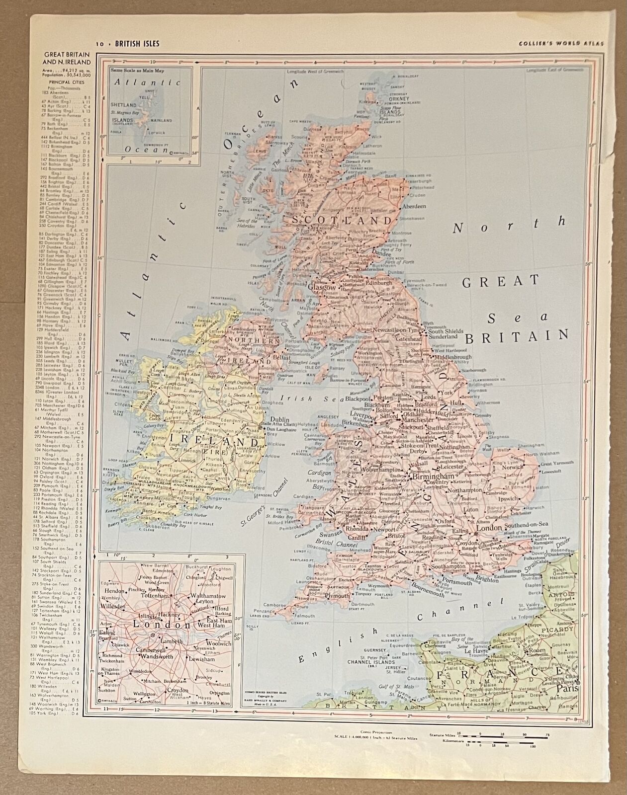
James Wyld / New Map of Great Britain Particularly Shewing the Inland Navigation
$ 298.32
- Description
- Size Guide
Description
New Map of Great Britain Particularly Shewing the Inland Navigation by the Canals; and Principal Rivers, with the Railways, Finished and in Progress, and the Principal and Secondary StationsAuthor:
Wyld, James
Title:
New Map of Great Britain Particularly Shewing the Inland Navigation by the Canals; and Principal Rivers, with the Railways, Finished and in Progress, and the Principal and Secondary Stations
Description:
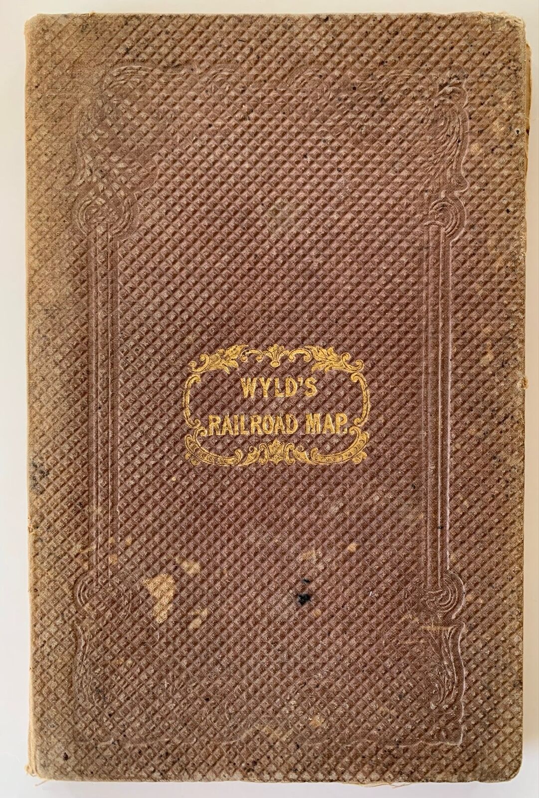
New Map of Great Britain Particularly Shewing the Inland Navigation by the Canals; and Principal Rivers, with the Railways, Finished and in Progress, and the Principal and Secondary Stations, James Wyld, 1845.
Linen-backed in original cloth folder. Moderate wear and rubbing to covers; gilt remains strong. Map is lightly foxed with several archival repairs at folds. Routes hand-colored in red and black. Good Condition.
Lithographed map (28¾x22¼ inches), backed with linen as issued, folding into or original gilt-lettered cloth covers. Map showing the ever-widening network of railroads in Britain, both completed and under construction. With inset of northern Scotland on a reduced scale. Paste-down label on back with catalogue of maps published by James Wyld, Geographer to the Queen and H.R.H. Prince Albert.
Uncommon. Good Condition / None.
Seller ID:
1317
Subject:
Maps
Stellar Books & Ephemera
is an on-line antiquarian dealer offering a wide variety of unique, unusual and rare artifacts of American History ranging from letters, manuscripts, archives and diaries to 19th century photography and 20th century letterpress. We specialize in the ephemeral and occasionally offer finer books which strike our fancy. If we stock it, you know it's unique.
Terms
All items are guaranteed to be as described or they may be returned within 30 days of receipt.
This listing was created by Bibliopolis.
