-40%
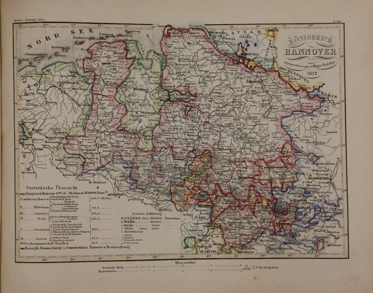
Meyers Zeitungs-Atlas: Kingdom Of Hanover 1852. Kol. Map
$ 15.49
- Description
- Size Guide
Description
Article detailsKingdom of Hanover 1852. Colored border map in steel engraving from “Meyers Zeitungs-Atlas”.
Hildburghausen, Bibliographical Institute, ca. 1852. Sheet size approx. 30x25cm. Slightly browned, overall in good condition.
Language: German
Order number: 142650
VAT)
Free shipping within Germany
Recorded with whBOOK
Item listed with the w+h GmbH eBay service
Data and images powered by
Book lover
(2024-07-02)
Hildburghausen, Bibliographical Institute, ca. 1852. Sheet size approx. 30x25cm. Slightly browned, overall in good condition. Language: GermanOrder number: 142650
